Announcement

Collapse
No announcement yet.

The Maps and Geography Thread

Collapse
X
 
  • Filter
  • Time
  • Show
Clear All
new posts

  • Jeff Lebowski
    replied
    Originally posted by Katy Lied View Post
    Thanks Falafel, for the first interesting post in this thread. No wonder they hold tryouts for SYTYCD every year in Utah.

    Leave a comment:


  • Clark Addison
    replied
    Originally posted by Katy Lied View Post
    Thanks Falafel, for the first interesting post in this thread. No wonder they hold tryouts for SYTYCD every year in Utah.
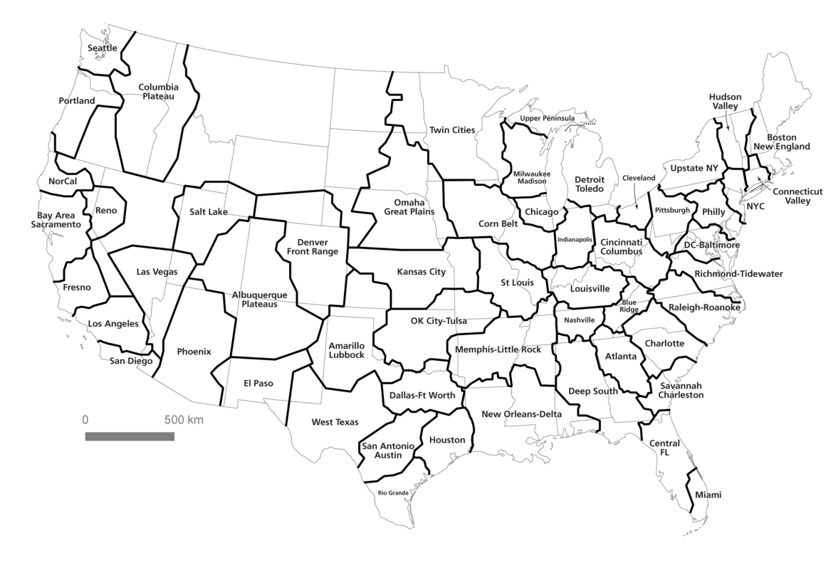
    Again, WTF? This is the second time that you have specifically called out this thread, which is one of my favorites!! And if you don't like the very first post of this thread, which links together a 100 million year old sea bed with current voting patterns, then maybe you aren't as smart as Wuap thinks you are! There, I said it.

    Seriously. Voting results driven by Cretaceous Period land-forms? That's gold.

    Leave a comment:


  • Dwight Schr-ute
    replied
    But they love the late night!

    Tonight Show.jpg

    Leave a comment:


  • falafel
    replied
    Originally posted by Katy Lied View Post
    Thanks Falafel, for the first interesting post in this thread. No wonder they hold tryouts for SYTYCD every year in Utah.
    Similar shows to SYTYCD: Game of Thrones.

    Leave a comment:


  • Katy Lied
    replied
    Thanks Falafel, for the first interesting post in this thread. No wonder they hold tryouts for SYTYCD every year in Utah.

    Leave a comment:


  • falafel
    replied
    Maps showing where different TV shows are most popular. The map below is for the show Empire.


    http://www.nytimes.com/interactive/2...maps.html?_r=0

    Leave a comment:


  • Northwestcoug
    replied
    Originally posted by BigPiney View Post
    Projections are intersting and that is a pretty good explanation.

    I mainly use the California Teale Albers projection for cartograpy. Albers makes it equal area, though the shapes gets distorted the further away from the center you get. It is centered on California, and gives a very pleasing California shape.

    The vox video mentioned this website:

    http://thetruesize.com

    Pretty interesting to play around with. Now I know Greenland isn't as big as South America!

    Leave a comment:


  • BigPiney
    replied
    Originally posted by Northwestcoug View Post
    Interesting video of the problems with flat maps, hipster hosted:

    https://youtu.be/kIID5FDi2JQ
    Projections are intersting and that is a pretty good explanation.

    I mainly use the California Teale Albers projection for cartograpy. Albers makes it equal area, though the shapes gets distorted the further away from the center you get. It is centered on California, and gives a very pleasing California shape.

    Attached Files

    Leave a comment:


  • Northwestcoug
    replied
    Interesting video of the problems with flat maps, hipster hosted:

    https://youtu.be/kIID5FDi2JQ

    Leave a comment:


  • Walter Sobchak
    replied
    Ohio FTW.

    <http://blog.estately.com/2015/12/u-s...istmas-movies/>

    Leave a comment:


  • creekster
    replied
    Originally posted by Bo Diddley View Post
    Pretty cool map showing America's river systems.
    Very cool. Like the veins and arteries of the nation.

    Leave a comment:


  • Bo Diddley
    replied
    Pretty cool map showing America's river systems.

    Rivers.jpg

    Created by Imgur user Fejetlenfej , a geographer and GIS analyst with a ‘lifelong passion for beautiful maps,’ it highlights the massive expanse of river basins across the country – in particular, those which feed the Mississippi River, in pink

    Leave a comment:


  • SCcoug
    replied
    Algorithmically sorted megaregions using commuting data.


    And a human interpretation of the above map.


    http://journals.plos.org/plosone/art...l.pone.0166083

    Leave a comment:


  • Dwight Schr-ute
    replied
    Originally posted by creekster View Post
    Does that 10% include all the private wells on the west side?
    Yes.

    Leave a comment:


  • creekster
    replied
    Originally posted by Dwight Schr-ute View Post
    Vegas currently gets 10% of its water from local groundwater. They've been pumping from this aquifer essentially since the Mormons first showed up. The aquifer is carefully monitored and regularly recharged. There is a plan to pipe water from a separate watershed 300 miles to the north. That plan was approved by the state engineer, which ruling was challenged in court and will be reheard in 2017.

    As for the highly treated piss that we love to push down our throats, Outside did a pretty comprehensive story about a year ago. https://www.outsideonline.com/201668...-you-las-vegas
    Does that 10% include all the private wells on the west side?

    Leave a comment:

Working...
X